


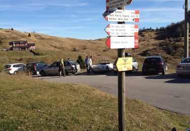
4 km | 6,6 km-effort

Tous les sentiers balisés d’Europe GUIDE+


Gratisgps-wandelapplicatie
 SityTrail
IGN / Geografische instituten
SityTrail World
De wereld gaat voor u open
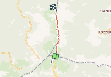
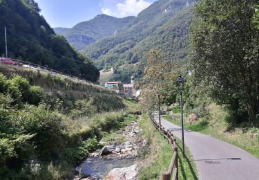
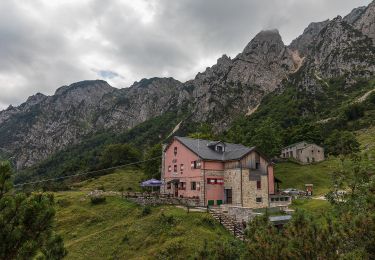
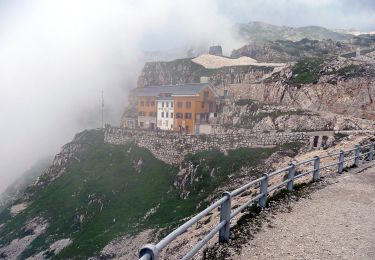
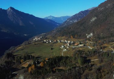
Tocht Te voet van 3,3 km beschikbaar op Veneto, Vicenza, Recoaro Terme. Deze tocht wordt voorgesteld door SityTrail - itinéraires balisés pédestres.
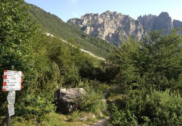
Trail created by CAI Montecchio Maggiore.
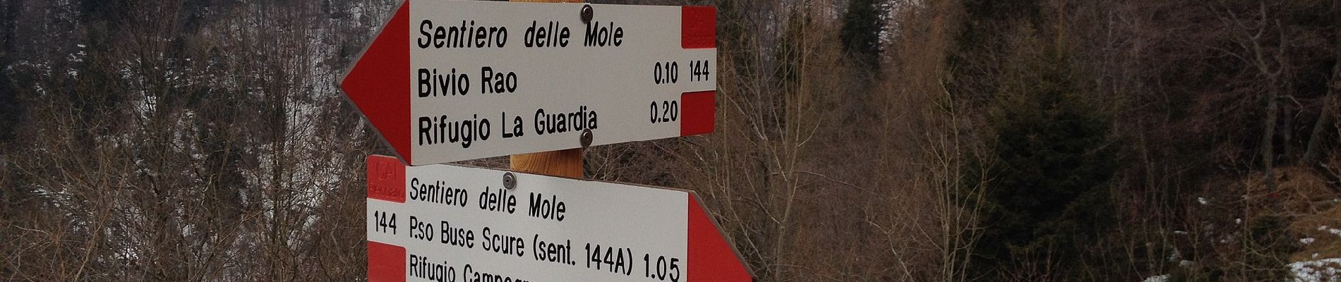
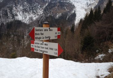
Symbol: flag red-white, bandiera rosso-bianco


Te voet
Te voet
Te voet
Te voet
Te voet
Te voet
Te voet
Te voet
Te voet